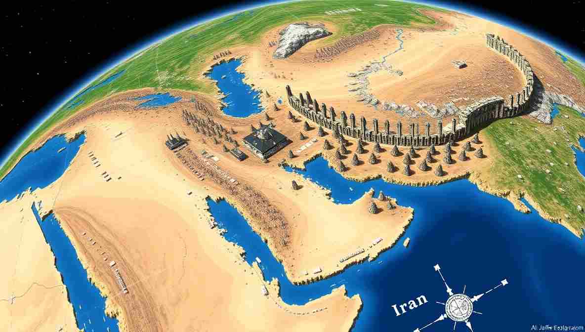
AI Now Lets Anyone Bomb Iran Without Leaving the Comfort of Photoshop
Google Earth briefly turns geopolitical catastrophe into a creative dropdown menu, then discovers users possess imaginations
MOUNTAIN VIEW, California — Google has withdrawn an AI image-generation feature from Google Earth after users demonstrated that satellite intelligence could now be manufactured by anyone with an internet connection, a dramatic imagination and no plans for the afternoon. According to the Financial Times, the tool allowed users to alter satellite scenes with generated objects, including fabricated nuclear facilities in Iran, bomb damage in Gaza, refugees near the Mexican border and a fatal-looking car crash in Amsterdam. Google rolled back the feature less than a day after launch, explaining that some people had used it in ways that appeared to violate company policies.
World War III Now Available in Beginner Mode
The withdrawn feature was powered by Google’s Nano Banana image-generation technology, a name that sounds less like strategic infrastructure and more like something served to toddlers who refuse ordinary fruit. Users could select a place in Google Earth and request changes to the landscape, allowing them to reimagine locations without the outdated inconvenience of visiting, understanding or accurately representing them.
For most of human history, bombing Iran involved aircraft carriers, intelligence briefings, congressional arguments, diplomatic warnings and at least one general standing beside a map with a stick.
Under the new system, the procedure was streamlined.
“Add three smoking craters near an Iranian nuclear site,” a user could type.
“Would you like frightened civilians, damaged aircraft or dramatic morning lighting?” the software might effectively answer.
The technological achievement is remarkable. War has finally become remote work.
A Pentagon procurement official, speaking while trying to cancel an order for twelve reconnaissance satellites, said the tool could have transformed military budgeting.
“We were spending billions to determine what was happening on the ground,” he said. “Apparently we could have spent $19.99 a month to determine what we wished had happened.”
The official added that the Defence Department was studying whether future conflicts could be conducted entirely through downloadable image packs.
“We could bomb Iran, rebuild Gaza, move the Mexican border and add a four-lane motorway through Amsterdam before lunch,” he said. “Nobody dies, although several cable-news anchors experience medically significant excitement.”
The First Casualty Is the Reverse-Image Search
Security researchers objected because Google Earth has long served as an important reference point for journalists, investigators and open-source intelligence analysts attempting to verify events in remote or dangerous areas. Integrating generative imagery into that trusted visual environment risks making authentic evidence harder to distinguish from convincing fabrication. Researchers demonstrated how easily the feature could produce fake disasters and geopolitical scenes using genuine mapping imagery as the foundation.
This creates a serious difficulty for journalists, who must now answer three questions whenever a satellite image appears online:
Is it real?
Who created it?
Why is there a giant banana beside the missile silo?
Open-source intelligence analyst Nigel “Zoom” Cattermole said his profession had become considerably more demanding.
“We used to compare roof angles, vegetation, road markings and the position of the sun,” Cattermole said. “Now we have to establish whether the neighbourhood was constructed by municipal engineers or generated by a man whose previous prompt was ‘Margaret Thatcher riding a dragon.'”
Cattermole said one suspicious image depicted an enormous weapons facility in Iran containing eight cooling towers, six missile launchers and a branch of Pret A Manger.
“That was the giveaway,” he said. “Pret would never open anywhere without fourteen management consultants and a railway station.”
Eyewitnesses Report Seeing Whatever Was Requested
Four witnesses contacted by the London Prat offered contradictory accounts of the imaginary attack.
“I saw six bombers flying over Iran,” said Derek Puddle, a carpet estimator from Leeds who has never travelled east of Hull. “You can tell the photograph is authentic because it was posted by an account with ‘TRUTH’ in capital letters.”
Carla Mendoza, a dental receptionist in Phoenix, said she saw the same image but believed the objects were agricultural buildings.
“My cousin enlarged it,” she said. “He has a gaming monitor, so he understands aerial reconnaissance.”
In Tehran, university student Farhad Nouri said the alleged nuclear complex did not exist on Thursday morning but appeared online by Thursday afternoon.
“It was impressive construction,” he said. “The government usually requires at least three permits and a nephew.”
Amsterdam cyclist Pieter de Vries disputed reports of a fatal crash generated on a local street.
“I rode through that location,” he said. “There was no collision. There were only bicycles, rain and a tourist standing in the cycle lane while studying a map of an accident that had not occurred.”
The conflicting testimony was immediately compiled into a ninety-minute streaming documentary titled The Crater They Don’t Want You to Question, narrated by an actor whose voice suggested that every parking ticket was part of a continental conspiracy.
Google Discovers Screenshots
Google said generated images carried safeguards and were not inserted into the normal public Google Earth database. The company also referred to digital watermarking intended to identify synthetic material. Nevertheless, screenshots of fabricated scenes spread rapidly, leading Google to withdraw the feature while it worked on stronger protections.
The company’s surprise centred on the revelation that users could take screenshots.
Silicon Valley engineers had apparently believed screenshots were a legacy feature used primarily by grandparents attempting to photograph airline boarding passes.
“We anticipated that users might redesign a garden, visualise urban development or reconstruct an ancient landmark,” said a person introduced as Google’s Vice-President for Responsible Planetary Improvisation.
“We did not predict that anyone would fabricate a nuclear facility in Iran, because our market research was conducted among six landscape architects and a very calm golden retriever.”
Asked why an image generator had been connected to a platform commonly used to verify wars, borders and natural disasters, the executive said innovation required calculated risk.
“Sometimes you have to move fast and break things,” he said. “In this case, the thing was the evidentiary basis of observable reality.”
Governments Welcome Affordable Intelligence
Several governments quietly expressed interest in the technology.
A spokesperson for an unnamed European ministry said fabricated satellite imagery could reduce the administrative cost of foreign policy.
“At present, ministers must wait for intelligence before reaching conclusions,” she said. “That process can take hours and occasionally produces conclusions the minister does not already hold.”
Under the proposed system, officials could generate evidence supporting existing policy and then convene an independent inquiry to confirm that the generated evidence supported the policy used to generate it.
“This is not misinformation,” the spokesperson explained. “It is anticipatory documentation.”
Iranian state television reportedly welcomed the broader principle, noting that every nation deserves equal access to imaginary military victories.
“Previously, only major intelligence services could produce sophisticated visual deception,” said one presenter. “Google has democratised strategic fiction. This is equality, although naturally we condemn it when used by anyone else.”
Experts Recommend Looking Out the Window
Professor Alan Nafzger, a retired political scientist and local philosopher contacted near a Texas dairy pasture, said the incident represented the final merger of cartography and wishful thinking.
“A map used to tell rulers where the world was,” Nafzger said. “Now rulers can tell the map where they need the world to have been.”
He argued that society had moved from “seeing is believing” to “seeing is sufficient for retweeting.”
Deductively, the problem is simple. Satellite images are persuasive because satellites are difficult to reach. AI generation removes that difficulty. Therefore, the authority of the satellite image remains while the satellite itself becomes optional.
It is the false authority fallacy with excellent resolution.
A survey conducted by the Institute for Things People Forward Without Reading found that 83 percent of respondents trusted satellite photographs, 71 percent trusted images accompanied by red circles, and 96 percent trusted anything sent by an uncle who began his message with “The media won’t show you this.”
The institute later admitted it had generated the survey with a spreadsheet tool, but said the figures felt geographically accurate.
Comedians Confirm Reality Has Lost the Room
London comedian Priya Nair said the incident proved that Google Earth had finally adapted to modern customer expectations.
“People don’t want directions anymore,” she said. “They want validation with terrain.”
New York comic Eddie Bell described the feature as “Photoshop for people who find Photoshop oppressively educational.”
Texas comedian June Hollister said she was impressed by the speed of the rollback.
“Google launched a machine for inventing international incidents on Thursday and removed it Friday,” she said. “That is not product testing. That is a weekend custody arrangement.”
Stronger Guardrails Expected Shortly After the Next Disaster
Google is now developing additional safeguards that may prevent users from generating fabricated atrocities, nuclear sites and disasters, according to reporting on the rollback.
Technology experts expect the next version to contain warning labels, verification tools and a checkbox reading:
“I promise I am not about to alter the course of international diplomacy for engagement.”
Users will be required to tick the box honestly.
Until then, anyone wishing to bomb Iran from the comfort of Photoshop must return to traditional methods: downloading an ordinary image editor, misunderstanding geopolitics and attaching a caption reading “BREAKING” before anyone has had time to check.
The good news is that Google Earth remains available for its original purpose: locating houses, studying landscapes and discovering that the hotel described as “steps from the beach” is actually separated from the sea by an airport, an industrial estate and a constitutional monarchy.
Reality has survived another product launch.
Barely.
Fifteen Observations From the Newly Imaginary Planet
1. Humanity spent thousands of years attempting to understand Earth, then required roughly eleven minutes to begin adding explosions to it.
2. Google introduced a feature allowing users to type whatever they wanted to see, apparently overlooking the internet’s long-established preference for war crimes, celebrities and bears operating heavy machinery.
3. Satellite photography once required rockets, engineers and governments. It now requires a prompt reading, “Put a suspicious nuclear complex over there, but make it believable.”
4. Photoshop at least expected users to learn what layers were. Modern technology considers that an unreasonable barrier to international panic.
5. The most dangerous phrase in Silicon Valley remains “for creative and educational purposes.”
6. Every AI product launches with guardrails. The guardrails are generally installed after the vehicle has reached the ravine.
7. Google Earth used to settle arguments about geography. It can now begin arguments about whether Tehran built a uranium-enrichment facility beside a kebab shop overnight.
8. A watermark is excellent protection, provided propaganda accounts agree to preserve it, enlarge it and read it aloud before spreading the image.
9. Open-source intelligence researchers previously examined shadows, roads and building damage. They must now ask whether the missile crater has the emotional texture of a banana.
10. Governments no longer need reconnaissance aircraft. They need a teenager, a laptop and parental permission to stay up past midnight.
11. Google removed the tool after discovering that users were sharing screenshots, an unforeseen behaviour among people using screens.
12. Tech companies keep testing products on the public because laboratory rats have stronger consent procedures.
13. The feature reportedly survived less than twenty-four hours, giving it the life expectancy of a cabinet minister who accidentally tells the truth.
14. The phrase “fake satellite evidence” once described a sophisticated intelligence operation. It now describes somebody named Kev working from a sofa in Swindon.
15. The planet has not become less real. Reality has merely become one of several available settings.
This article is British satire produced for prat.uk. No country was bombed, rebuilt, invaded or given an additional nuclear facility during its preparation. This piece of UK satirical news is entirely a human collaboration between two sentient beings: the world’s oldest tenured professor and a philosophy major turned dairy farmer. Any resemblance to responsible technological planning is purely accidental, as is customary in English satirical news.

Alan Nafzger was born in Lubbock, Texas, the son Swiss immigrants. He grew up on a dairy in Windthorst, north central Texas. He earned degrees from Midwestern State University (B.A. 1985) and Texas State University (M.A. 1987). University College Dublin (Ph.D. 1991). Dr. Nafzger has entertained and educated young people in Texas colleges for 37 years. Nafzger is best known for his dark novels and experimental screenwriting. His best know scripts to date are Lenin’s Body, produced in Russia by A-Media and Sea and Sky produced in The Philippines in the Tagalog language. In 1986, Nafzger wrote the iconic feminist western novel, Gina of Quitaque. He currently lives in Holloway, North London. Contact: [email protected]