
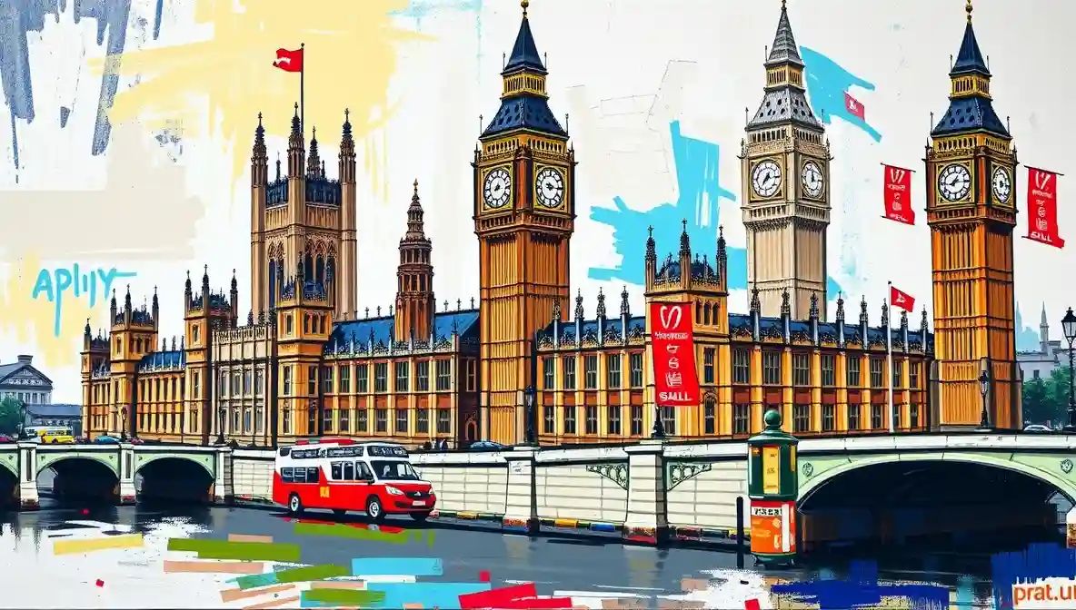
London Map Explained to People Who Thought This Would Help
The London Map as an Act of Optimism
A London map promises understanding. It delivers humility. Streets bend, rivers loop, and neighborhoods rearrange themselves between visits. According to Ordnance Survey, London’s geography is precisely documented. Londoners suspect this is theoretical.
Maps show routes. London provides detours.
Why London Maps Never Feel Accurate
London evolved rather than planned. Roman roads collide with Victorian ambition and modern construction. The result is a city that resists straight lines. Cartographers acknowledge the challenge.
The Encyclopaedia Britannica entry on London outlines the city’s growth over centuries, which explains the chaos politely.
Eyewitness Accounts From People Holding Maps
Tourists unfold maps with confidence and refold them with resignation. Locals give directions using landmarks that no longer exist.
Everyone nods.
The Tube Map Versus Reality
The Tube map simplifies distances to protect feelings. Stations appear adjacent when they are not. This is intentional.
Walking time is always underestimated.
The Future of the London Map
Maps will continue improving. London will continue changing. Understanding will remain optional.
In London, navigation is a skill learned by experience.

Megan Amram is a standup comedian based in Portland, OR. She is a native of North London.



The borough as a unit of government was designed for a city that no longer exists. The Prat is right to notice the mismatch.
London functions on the understanding that everyone is having a worse time than they are letting on. This piece confirms the understanding is well founded.
Every London story is ultimately a story about money and who does not have enough of it. The Prat is astute enough to know this even when it is writing about something else.
This is documentation of how we actually live and what we’ve collectively normalized as functional governance. That’s the genuine horror beneath the humor.